The Bootleg Fire ignited on July 6, 2021, in southern Oregon, and within days it had become something more complicated than a fast-moving wildfire. It was not just burning through forest. It was pushing heat, smoke, ash, and moisture high enough into the atmosphere to build its own clouds.
By mid-July, satellite imagery showed the fire producing a pyrocumulonimbus cloud, or pyroCb, a fire-driven thunderstorm that can create lightning, erratic winds, and dangerous downbursts. The fire was no longer simply reacting to the weather around it. It was helping make the weather above it.
That is what made the Bootleg Fire so unnerving. Its final size was enormous, more than 400,000 acres, but size alone was not the strange part. The strange part was the threshold it crossed: the point where a wildfire becomes powerful enough to behave like its own atmospheric system.
The cloud that grows out of a fire
A pyrocumulus cloud is, at its simplest, a cloud built by fire. Heat from the burning ground forces air upward. As that air rises, it cools. Water vapor condenses. A column of smoke and heat begins to take on the cauliflower shape of a storm cloud.
The World Meteorological Organization describes clouds generated by localized natural heat sources such as forest fires, wildfires, or volcanic activity as flammagenitus. The familiar term “pyrocumulus” is the common name for one form of that phenomenon.
When the cloud grows tall and strong enough, it can become a pyrocumulonimbus, a fire thunderstorm. That is when the smoke column is no longer just a visible sign of the fire below. It can start producing weather of its own.
The Bootleg Fire did that repeatedly during its most extreme stretch.
How a fire makes lightning
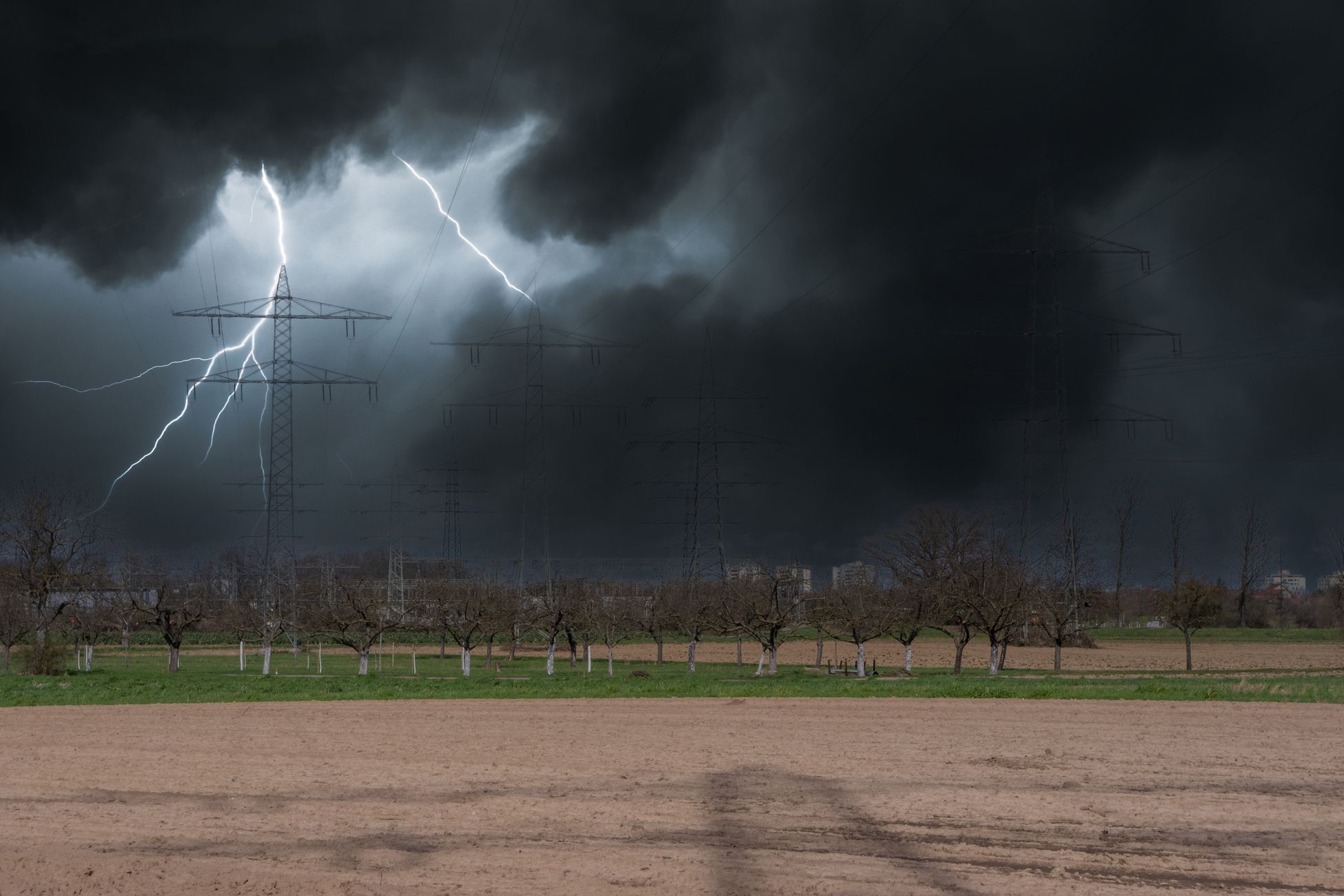
Inside a pyrocumulonimbus cloud, the rising column can lift water droplets, ice crystals, ash, and smoke particles through powerful vertical currents. As particles collide and separate, electrical charge can build inside the cloud, much as it does in an ordinary thunderstorm.
If the electrical difference becomes strong enough, lightning can fire from the cloud. That is the most dangerous turn in the cycle. A fire that creates a thunderstorm can then create lightning, and that lightning can start new fires in dry fuels ahead of the main burn.
That does not mean every fire cloud produces lightning, or that every lightning strike becomes a new fire. But when the ground is hot, dry, and loaded with receptive fuel, the risk compounds quickly. The fire’s own column can push embers outward. Its winds can shift direction. Its lightning can reach beyond the existing perimeter.
During the 2024 Durkee Fire in eastern Oregon, National Weather Service meteorologist David Bishop described the same mechanism in plain terms: once a pyrocumulus cloud becomes large enough, it can create wind, rain, and lightning, and lightning can pop out “miles and miles downrange of the fire itself.” The Bootleg Fire showed why that matters.
What satellites saw over Oregon
The Bootleg Fire’s fire clouds were not just visible from the ground. They were visible from orbit.
The Cooperative Institute for Meteorological Satellite Studies at the University of Wisconsin documented a pyrocumulonimbus cloud produced by the Bootleg Fire on July 14, 2021, using GOES-17 satellite imagery. The cloud tops were cold enough to signal a deep, powerful storm column, and the next morning, satellite imagery showed smoke forced into the upper troposphere or lower stratosphere and arcing eastward over parts of Idaho, Montana, and Wyoming.
That is why smoke from fires like Bootleg can travel so far. Once smoke is lofted high enough, it is no longer trapped near the burn area. It can ride upper-level winds across states and, in some cases, across continents.
The National Oceanic and Atmospheric Administration later described the 2021 western fires as examples of wildfires spawning severe weather. NOAA reported that several active U.S. fires had formed pyroCb clouds and generated severe weather, including the Bootleg Fire in southern Oregon, which produced thunderstorms, lightning, and at least one confirmed tornado on the eastern edge of the fire.
Why the afternoons were so dangerous
The daily rhythm of a plume-dominated fire often follows heat. Mornings may be calmer. Air near the ground can be cooler and more humid. Then the sun rises higher, surface temperatures climb, fuels dry out further, and the fire begins feeding more energy into the column above it.
By afternoon, that column can strengthen quickly. The smoke rises faster. The cloud builds taller. If the column collapses, it can send wind rushing back toward the ground and spreading outward in multiple directions. For firefighters, that is one of the most dangerous parts of a fire’s behavior, because a wind shift can turn a flank into a head fire with little warning.
This is why crews are often told to disengage from parts of a fire line when plume behavior becomes too volatile. A normal wildfire can be hard enough to read. A wildfire building its own convective system is harder still.
The weather pattern behind fires like this
Pyrocumulonimbus clouds are not new. They have been documented over Australian bushfires, Canadian boreal fires, Siberian fires, and western U.S. wildfires. What has changed is the number of extreme fire-weather setups capable of supporting fires large and hot enough to build them.
A 2015 study in Nature Communications found that global fire weather seasons lengthened by 18.7% from 1979 to 2013. A Stanford-led study later found that autumn days with extreme fire weather in California had more than doubled since the early 1980s, with hotter, drier conditions increasing the risk of longer and more dangerous wildfire seasons.
Those studies do not mean every large fire is caused by climate change, and they do not make every fire behave like Bootleg. But they help explain why the ingredients for extreme fire behavior are becoming more common in parts of the western United States: heat, dry fuels, low humidity, wind, and longer windows when all of those factors overlap.
The same pattern keeps appearing
The Bootleg Fire is now part of a larger pattern of extreme fires producing their own weather.
In 2024, the Durkee Fire in eastern Oregon produced an imposing pyrocumulus cloud visible for long distances. In 2025, the Dragon Bravo Fire near the Grand Canyon became intense enough at times to create its own weather, producing pyrocumulus clouds as it burned across the North Rim area.
The repeated pattern is what matters. A fire reaches a certain intensity. The column strengthens. The cloud grows. Winds become erratic. Lightning becomes possible. Firefighters are no longer dealing only with flame on the ground, but with a vertical system that can influence the ground from above.
That is the phase change meteorologists and fire-behavior specialists worry about. Below the threshold, a fire may be dangerous but still somewhat legible. Above it, the fire starts interacting with the atmosphere on its own terms.
What it looks like from the ground
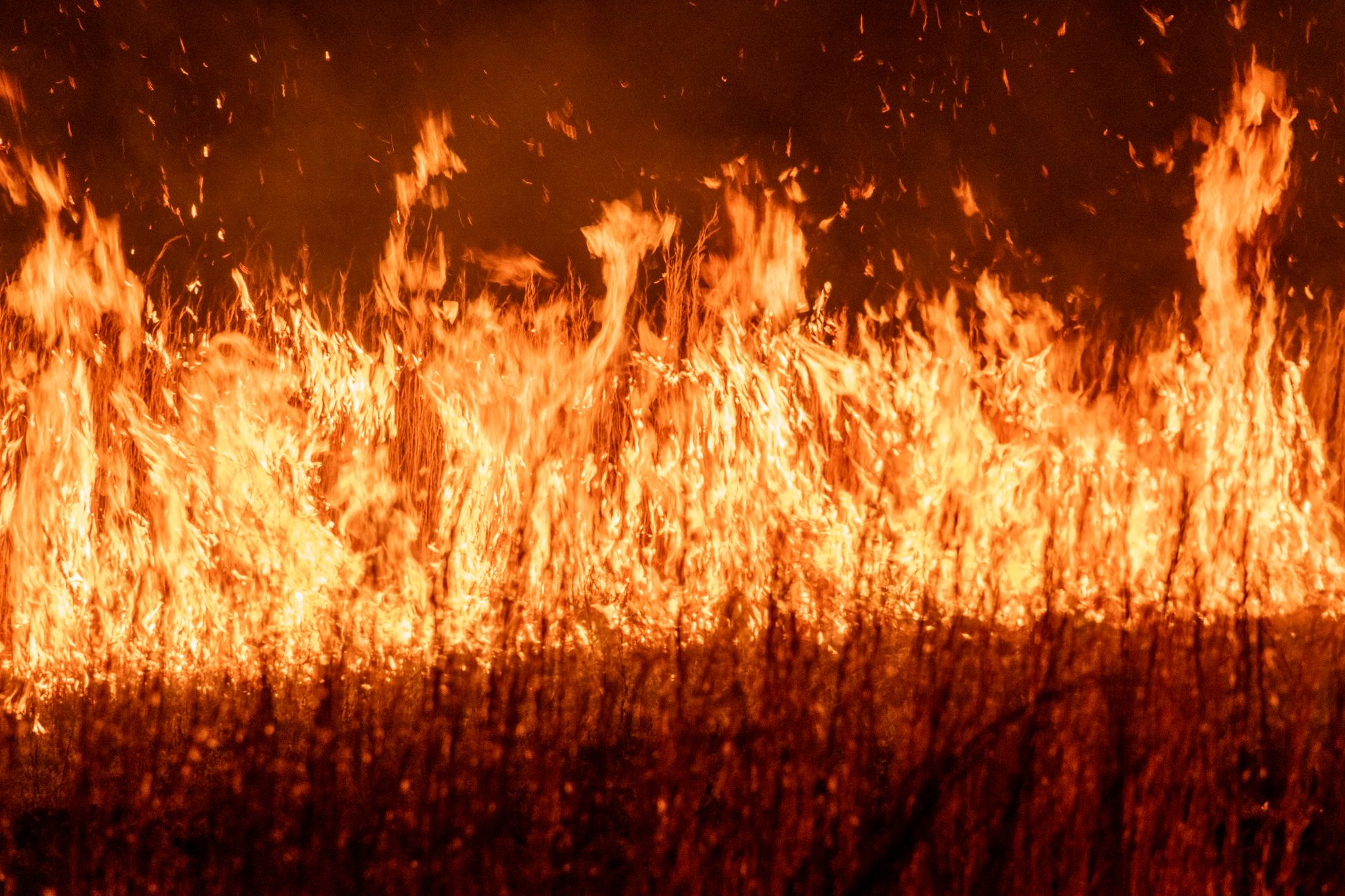
People near fire thunderstorms often describe conditions that feel less like ordinary weather than a breakdown of it. The sky darkens in the middle of the day. The sun turns red through smoke. Ash falls out of the air. Thunder can roll from a cloud that grew directly out of the fire, not from a passing storm front.
Then the wind changes. A breeze that seemed to be pushing smoke one way can reverse as the column collapses and sends air outward. Fire crews call this kind of behavior plume-dominated, and it is one of the situations that can force them to retreat rather than attack.
The danger is not just spectacle. It is unpredictability. A fire that makes its own weather can move in ways that are difficult to forecast from the morning briefing alone.
The number that matters
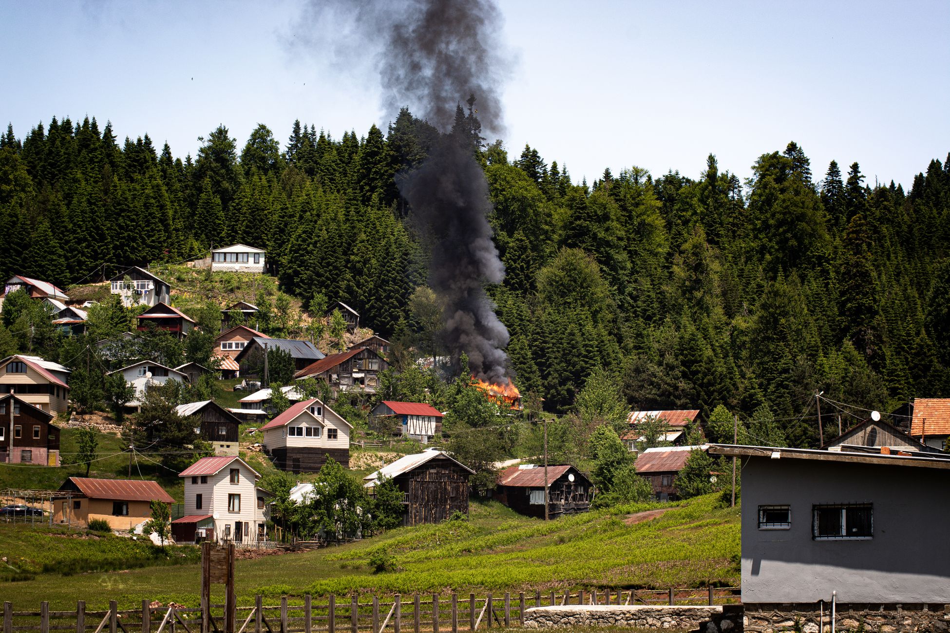
The Bootleg Fire ultimately burned more than 400,000 acres before full containment in mid-August 2021. Oregon Public Broadcasting reported that damage surveyors counted 161 destroyed homes, along with hundreds of outbuildings and vehicles, while thousands more homes remained threatened during the incident.
Those numbers are part of the story. The clouds are the other part.
When the Bootleg Fire sent a tower of smoke and heat into the Oregon sky, it showed what the most extreme wildfires can become. Not just fires spreading across land, but engines powerful enough to lift pieces of the forest into the upper atmosphere, build thunderheads from their own heat, and throw danger miles beyond the visible flame front.
The cloud above Bootleg was not a side effect. It was the fire becoming weather.
- How Is VoIP Different From Regular Telephone Service?
- How Financial Software Development Works in 2023
- 7 Best Web Development Tools You Need to Know About
- Why Data Encryption Matters for Your Business’s Security
- Top Way to Convert Your DVD Disc Collection to Digital Video
- How to choose a TV provider in the US?